
From all sites representing dry grasslands, raised bogs and fens, as well as flood plains of national importance, a subset of about 800 sites was selected. In these, extensive vegetation surveys are conducted. The gathered data is used to calculate various indicators which evaluate the development of these sites with respect to changes in habitat quality.
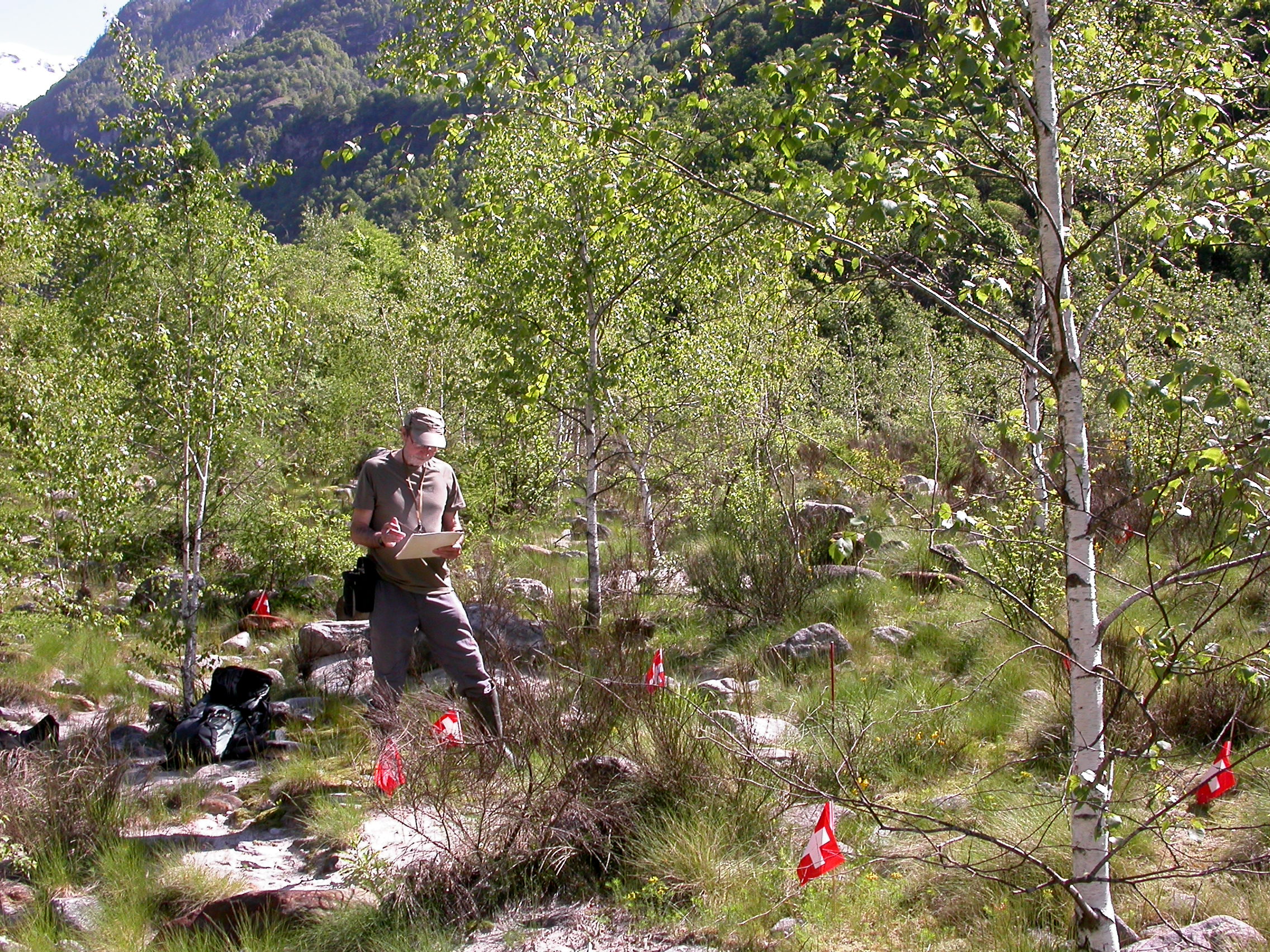
The sub-sample of all sites of national importance was selected using a stratified random sampling design which weighted rare vegetation types higher than common ones to ensure a more even representation of vegetation types among biogeographical regions and along elevational gradients. The sample includes approximately 400 dry grassland sites, 260 raised bogs and fens, and 125 riparian areas and flood plains of national importance. In total, about 7000 permanently marked circular 10 m2 plots were established in the first sampling period from 2011 to 2017. In these plots, all vascular plants are sampled every six years. In riparian areas and flood plains, shrubs and trees are sampled in an additional 200 m2 plot centered on the core 10 m2 plot. In raised bogs and fens, soil-dwelling bryophytes (i.e. mosses, liverworts, hornworts) are sampled in addition to vascular plants.
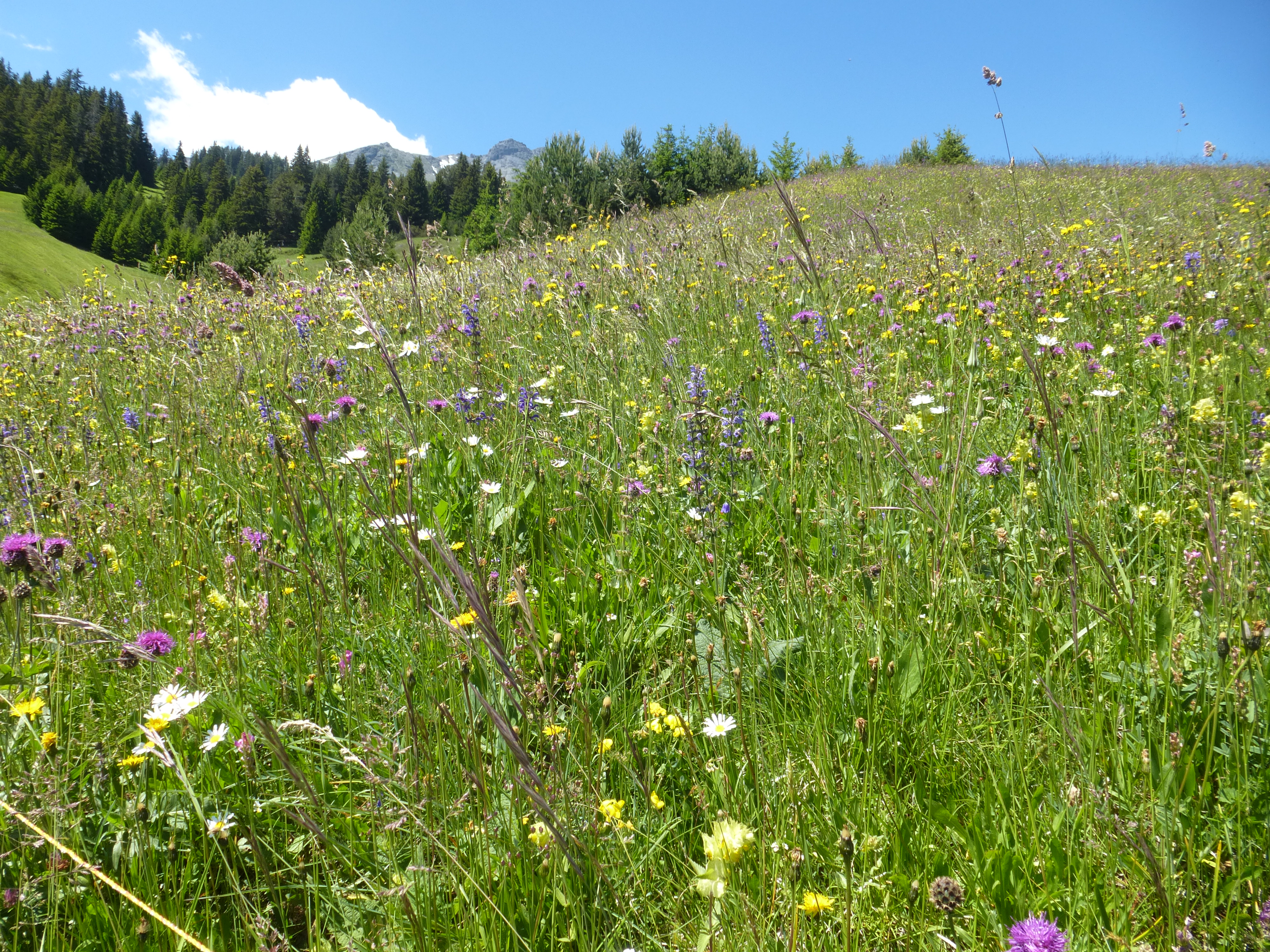
Based on the data assessed, conclusions can be drawn both at the national level and between biogeographic regions concerning ecological changes and their causes (e.g. nutrients, intensification/extensification of the exploitation, shrubs encroachment). Moreover, as the methods used to assess the vegetation are comparable to those applied in other national monitoring programs (e.g. Biodiversity Monitoring Switzerland [BDM], and the monitoring Agricultural Species and Habitats [ALL-EMA] schemes), the three monitoring programs are complementary. Whilst BDM reflects a random sample of the "normal landscape" of Switzerland and ALL-EMA covers the agricultural area, WBS instead focusses on rare vegetation types in protected areas. WBS sites represent a range of habitats with diverse ecological conditions; sites include dry steppe habitat types in the inner-alpine dry valleys to very humid ones like floodplain forests, raised bogs and fens. Thus, the whole ecological and land-use intensity gradient of various habitat types in Switzerland is covered by the three monitoring programs, allowing synthesis evaluations of broad social and political interest.
The floristic data of the WBS is transferred to the national data centres Info Flora and Swiss Bryophytes and is used for other national projects, such as the revision of national Red Lists of endangered species. Data are also available on request for specific inquiries or cantonal projects.
Contact
Instruction manual
Instruction manual for the vegetation survey 2022 (pdf in german, 2 MB)